top of page

Community & Environmental Planning Technician
Remote Sensing Technician
Katie Chute
Softcopy Photogrammetry Projects
 |
|---|
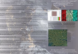
The Softcopy Photogrammetry course is all about using Agisoft Photoscan to generate georeferenced dense point clouds, textured polygonal models, digital elevation models, and orthomosaics from a set of overlapping images with corresponding referencing information.
For this course instead of writing individual reports for each lab that was done at near the end of the course there was a theory poster that was due, just to give an overview of what we had done throughout the course and what interesting points that came up well going through the labs.
bottom of page